Our access to knowledge in our field and equipment such as total stations, GNSS, laser scanners, sonar and RPAS (drones), gives us complete control over all phases of a project. This combination, along with our employees’ geomatic expertise, an extensive CAD and GIS software swuite, and experience in the field give us a unique approach to our projects. In addition to experience with, and understanding of contracts and standards, Scan Survey focuses heavily on communication between involved parties. Our experience is that proper data flow and control are extremely important for the completion of projects; not least in terms of price and quality.
Scan Survey AS derives its experience from large industrial and transport projects, as a consultant with specialist expertise in contract complaince. Through projects with stakeholders such as Equinor, the Norwegian Public Roads Administration, Sporveien, and Bane NOR, we have considerable experience in this area.

Would you like to know more? Contact our Head of Department!
We work well as a natural link between construction clients, contractors, and engineering consultants, and are thus involved in all phases of a project:
Planning Phase
- Surveying of terrain and infrastructure as a foundation for design
- Establishment of benchmarks and quality control thereafter
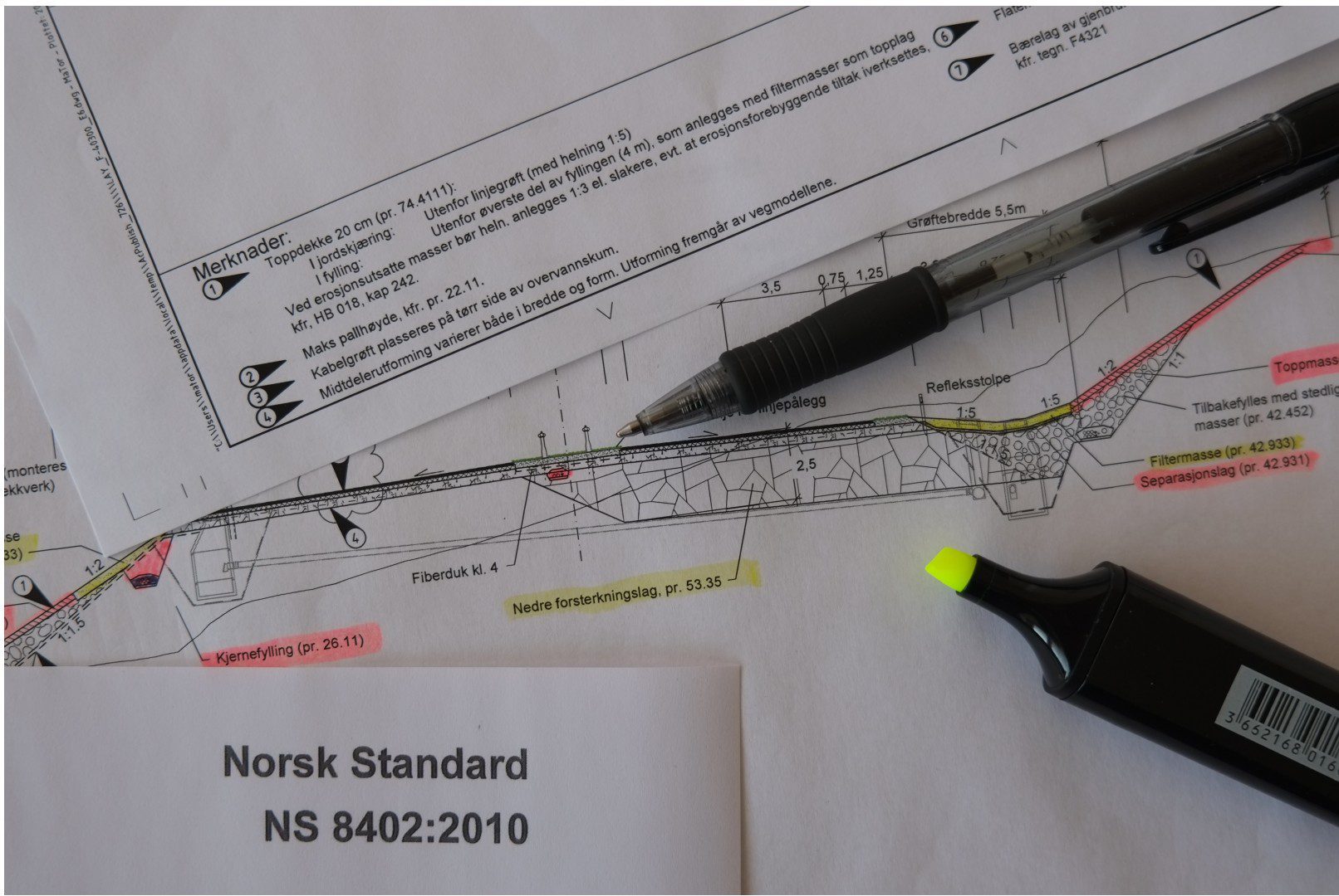
- Controls and corrections of blueprints, 3D-models, and the contract’s processes
- Organization of data flow and work routines between construction clients, contractors, and engineering consultants
- Sourcing, coordination, and transformation of necessary existing digital data
Building Phase
- Certificate control and final settlement with executing contractor
- Deformation and displacement controls performed to ensure building is in accordance with the contract’s tolerances
- Follow-up of contractor’s documentation and FDV
- Control of plan data from the engineering consultant
- Implementation of geomatic meetings to optimize data flow and ensure collaboration between project partners
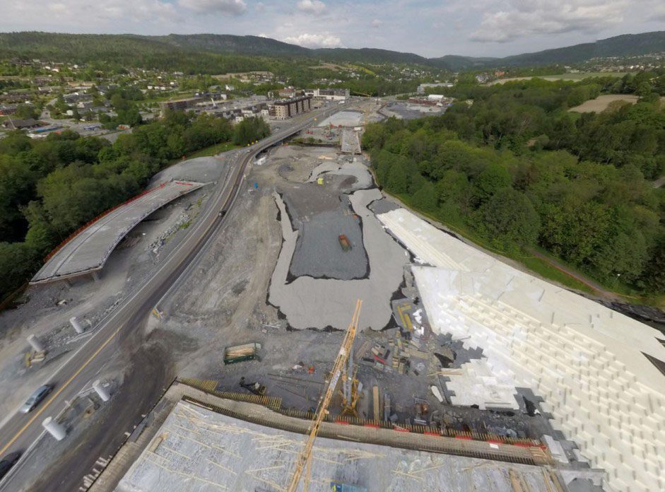
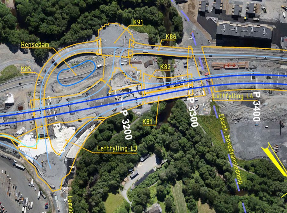
- Periodic documentation of the project with the help of aerial photos, surface models, and image bubbles from both drone and ground level
- Engineering
Operation and Maintenance
- Delivery to NVDB and FKB
- “As-built”
- Scanning and surveying completed structures
- Delivery to cable operators, municipalities, etc.


We offer services to both construction clients and contractors.
Contact Vegard Bruer if you have questions about our consultant services.

