
Scan-to-BIM
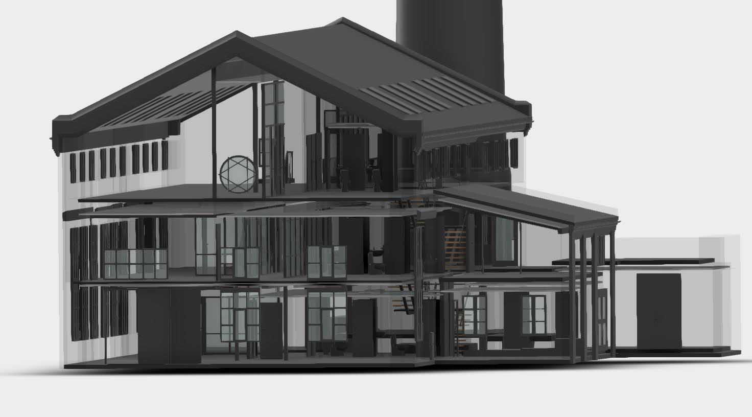
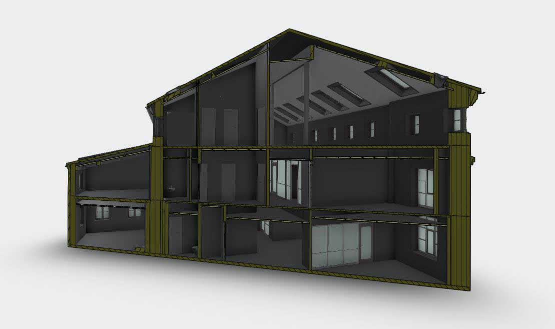
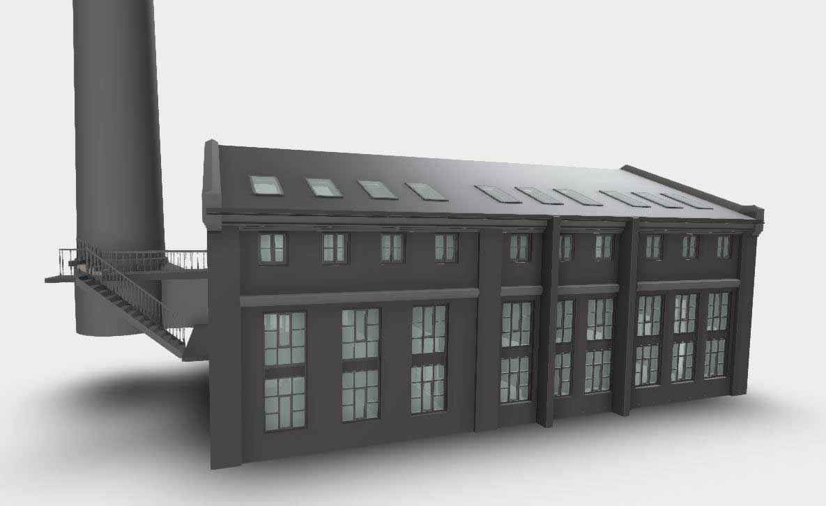
Scan-to-BIM is a process of converting point cloud data obtained from 3D laser scanning into accurate and detailed 3D models of the current situation. This technology facilitates the seamless transition from physical objects to digital representations, enabling architects and consulting engineers to continue working on an accurate and up-to-date basis.
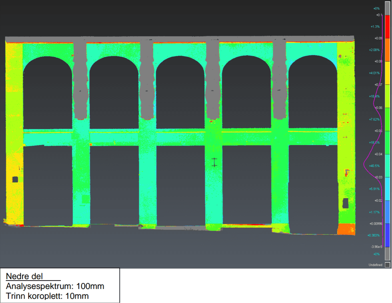
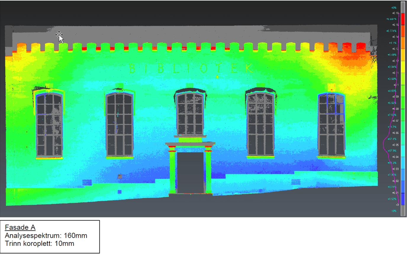
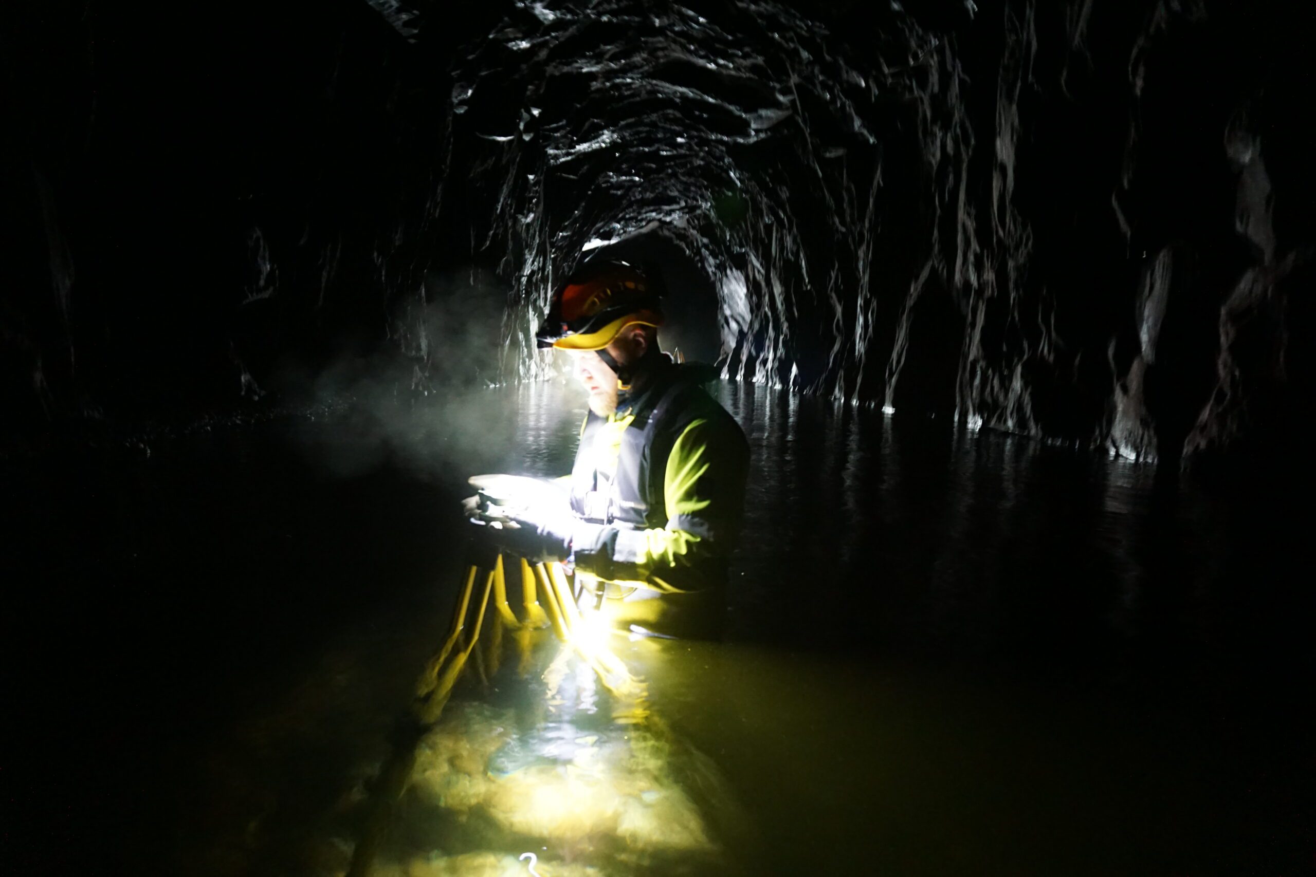
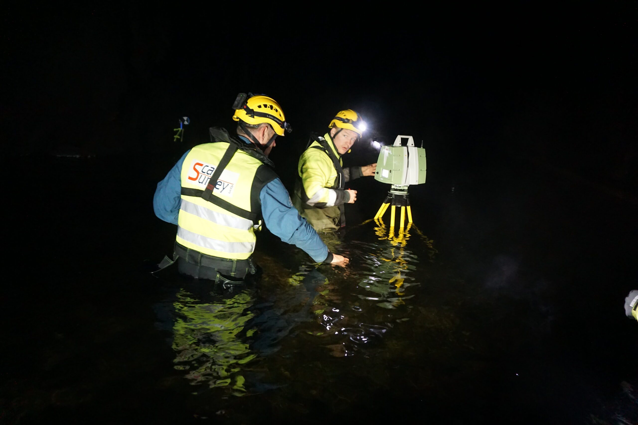
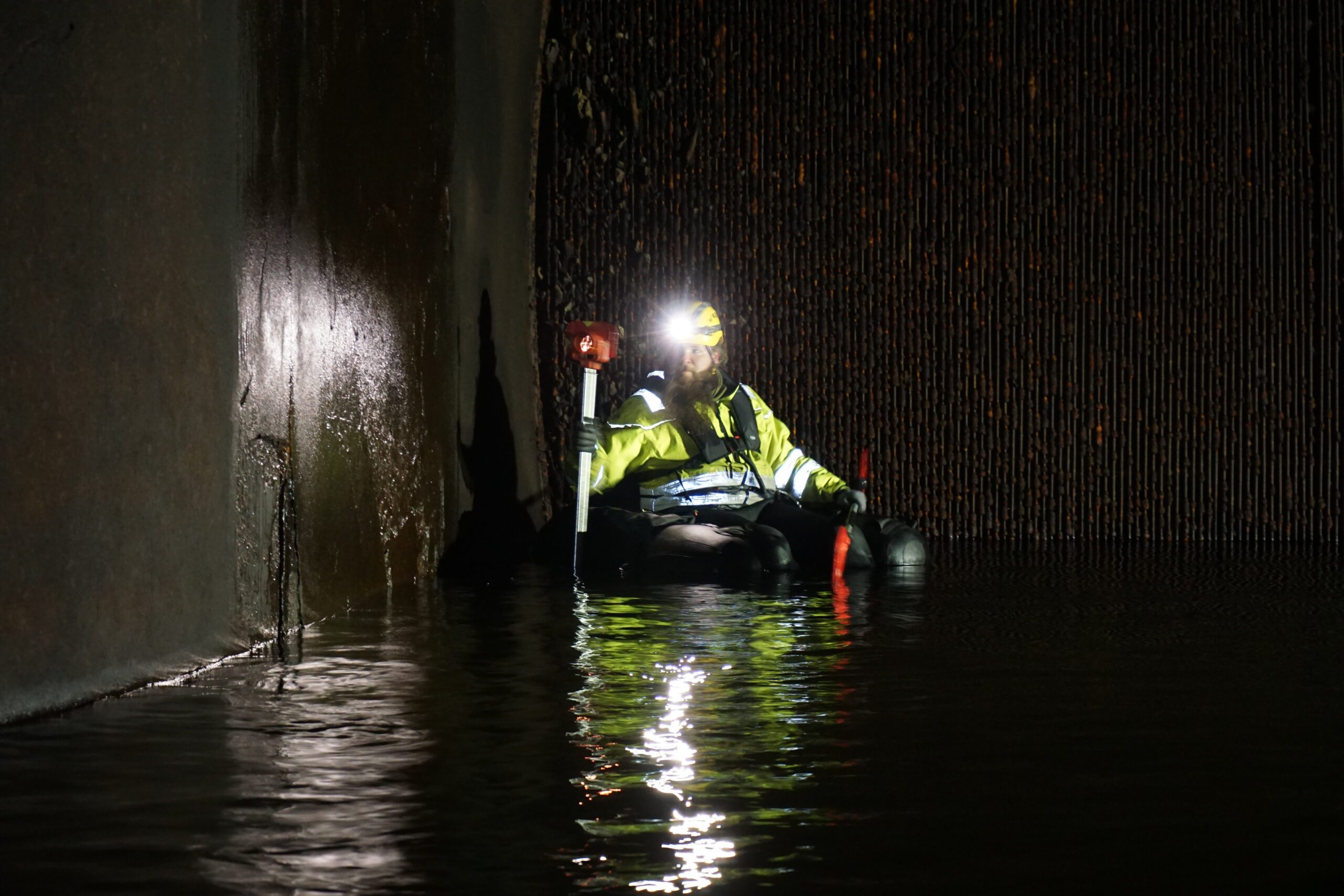
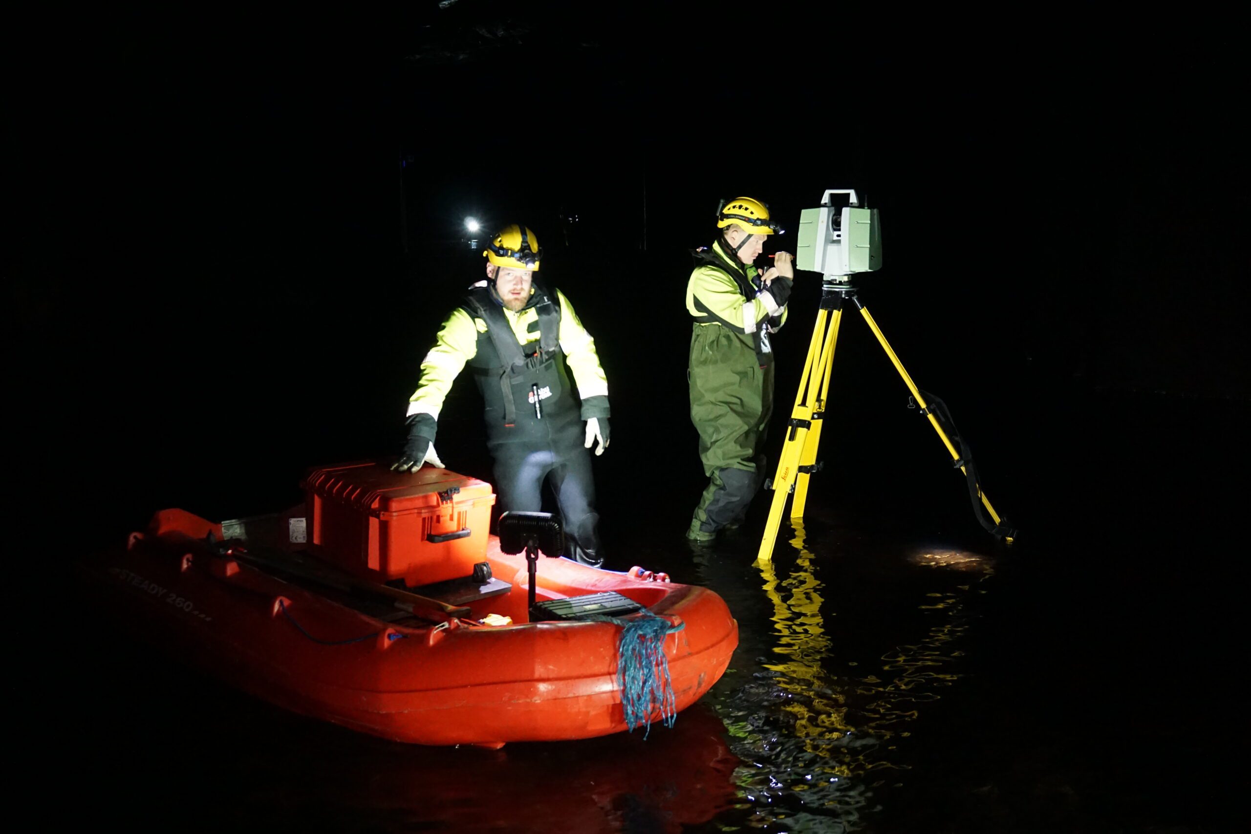
With one of our laser scanners, a point cloud is produced, and if necessary, this is used to create a 3D model. Both the point cloud and the 3D model are georeferenced and set to scale so that accurate absolute measurements can be taken from the created models. The point cloud is well suited for visualization and further refinement and can be supplied in E57, RCP, or LAS formats. If desired, the point cloud can contain intensity values or color values, for a more realistic visualization.
A 3D model is modeled from the point cloud, with the desired level of detail. This can be rough construction areas such as tunnel contours, or small details such as the decoration on a facade. Information can be added to the digitized objects, e.g. pipe type, manufacturer, theme code, pole number, infrastructure type, and much more.
This makes the data very suitable for further processing and planning in a BIM, CAD, or GIS environment, such as Revit, ArchiCAD, AutoCAD, or ArcGIS. Many tools today provide the opportunity to work with the information in such 3D models, as well as using point clouds for visualization.
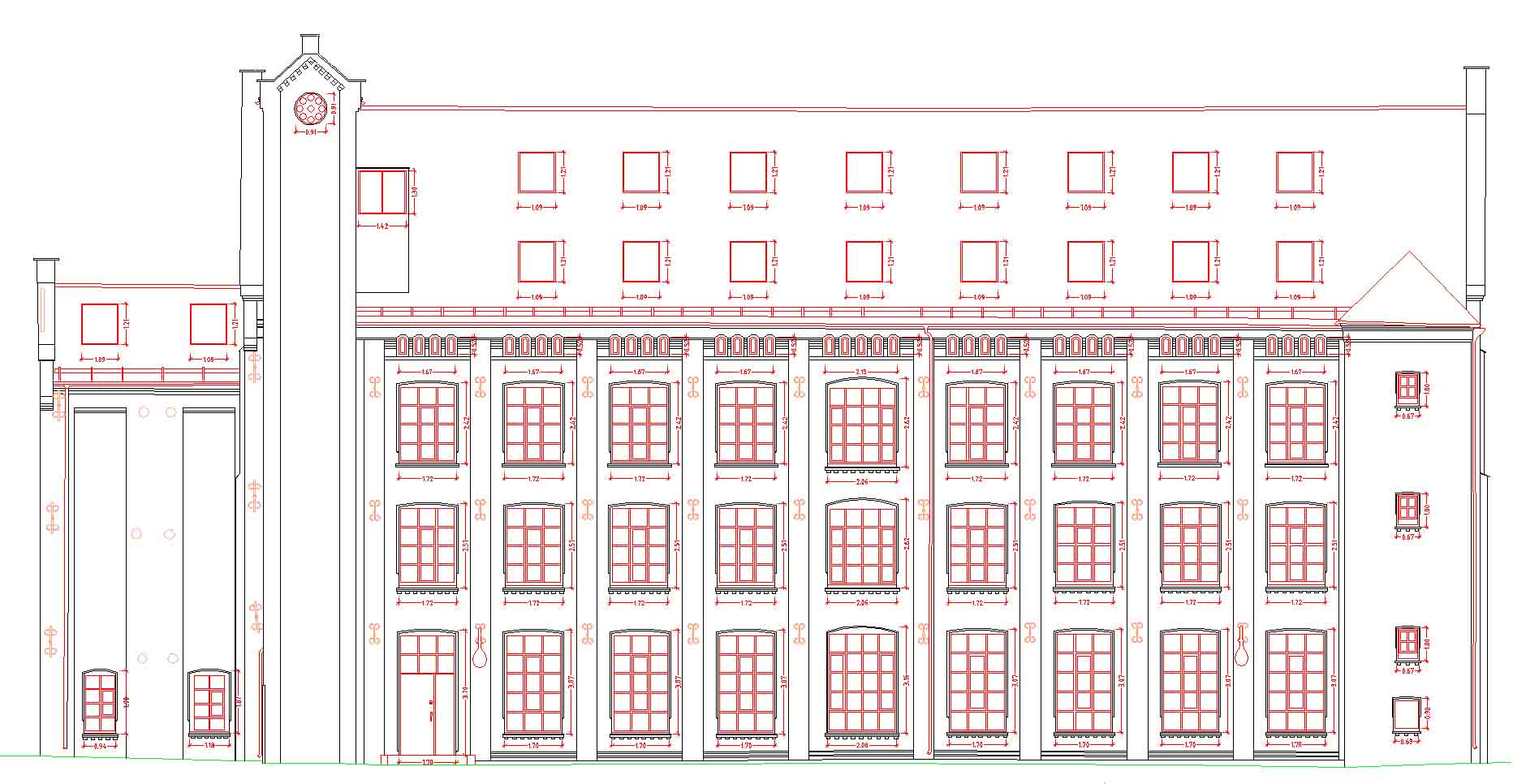
2D-floor plans and facade drawings can also be produced based on point cloud data.