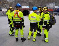
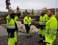
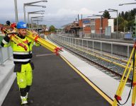
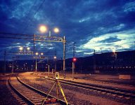
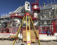
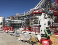
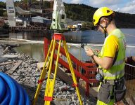
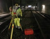
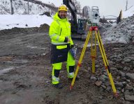
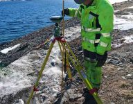
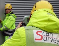
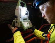
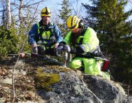
Terrain models have been one of Scan Survey’s core areas ever since the early 90’s. In close collaboration with our clients, we can deliver high quality, unsurpassed foundations that can be used for engineering, mass calculation, and visualization. Generation of the models is facilitated by efficient production runs that are easily able to combine data from various instruments. Measurements with total stations, terrestrial scanning, vehicular scanning, backpack scanning, sonar, and drones are but a few of the data sources that can be collected into a seamless digital terrain model. The model is not only important for effective engineering, but prevents mistakes, misunderstandings, and disagreements in the building process.
Terrain Models
In other words, modern society builds things twice; first digitally, thereafter in reality. Terrain models are the digital model’s foundation – should a mistake be made it will be made twice, first digitally and then again during the physical building process. With a good terrain model the engineering process becomes more effective, mistakes are avoided, and costly mistakes during the building process are a thing of the past.
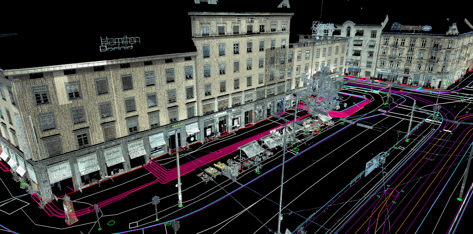
Terrain model from Majorstuen, a combination of total station and terrestrial laser scanning.
Detailed Measurement
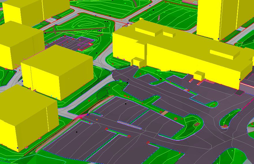
Terrain model from Kringsjå student town, all the details within are measured with total stations.
A terrain model consists of the most basic forms of measured data, lines and points from traditional surveying. Scan Survey’s experienced employees are well versed in the needs of the client, adapting the level of detail in the field to give the most cost effective solution.
Measured objects are always coded after a theme. The coding follows SOSI’s object catalogue as closely as possible, though Scan Survey has supplemented the system with extra theme codes to give the model the most possible information.
Scan Survey has strict routines for quality control of data collected in the field. Measurements are always processed in an office setting and go through a series of control checks from the point they enter the system as raw data files, to the point that the model is completely processed and put together into the finished product. The model is often triangulated and themed in order to make it quick and easy to identify surfaces such as roads, sidewalks, grass sections, and much, much more.
Would you like to know more? Contact our Head of Department!
Point Clouds
Point clouds are as widely used as foundations for terrain models as detailed measurements. Point clouds are most often collected from airborne, vehicle borne, and terrestrial laser scanning, but also from drones (photogrammetry) and sonar.
Scan Survey has chosen to use Leica’s mobile mapping system, Pegasus. The system is comprised of the vehicle/train/subway/boat based platform Pegasus:Two, and the backpack based platform Pegasus:Backpack which give a highly flexible and effective data collection in the form of point clouds. Point density and quality are so high that it is simple to digitize objects.
These methods of data collection can gather up to 2 million points a second, making the quantity of data enormous. An unedited model created from these sources becomes unmanageable due to their size, as well as slow to work with; much of the result being no more than noise. Traditionally this has been solved by making a grid model, but this method evens out sharp corners and edges in the terrain. Scan Survey has developed smart and effective filtering methods that reduce the size of the data foundation by 90% while maintaining these sharp corners and edges.
The foundation can also be supplemented with underwater data – point clouds collected via sonar. Scan Survey processes data from both single and multi-beam sonar. With accurate data from coastlines and rivers, you’re given a basis for filling out calculations and flood analyses.
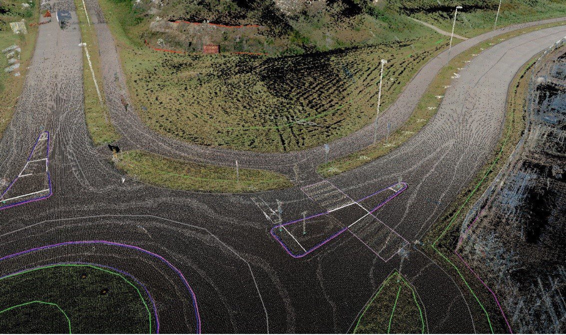
Point cloud digitalization of a road.
Once the Norwegian National Mapping Authority published national coverage data for free use, it became even simpler to supplement the models with point cloud data. Scan Survey can also process and model this data if desired.
TIN – Seamless and Themed Terrain Model
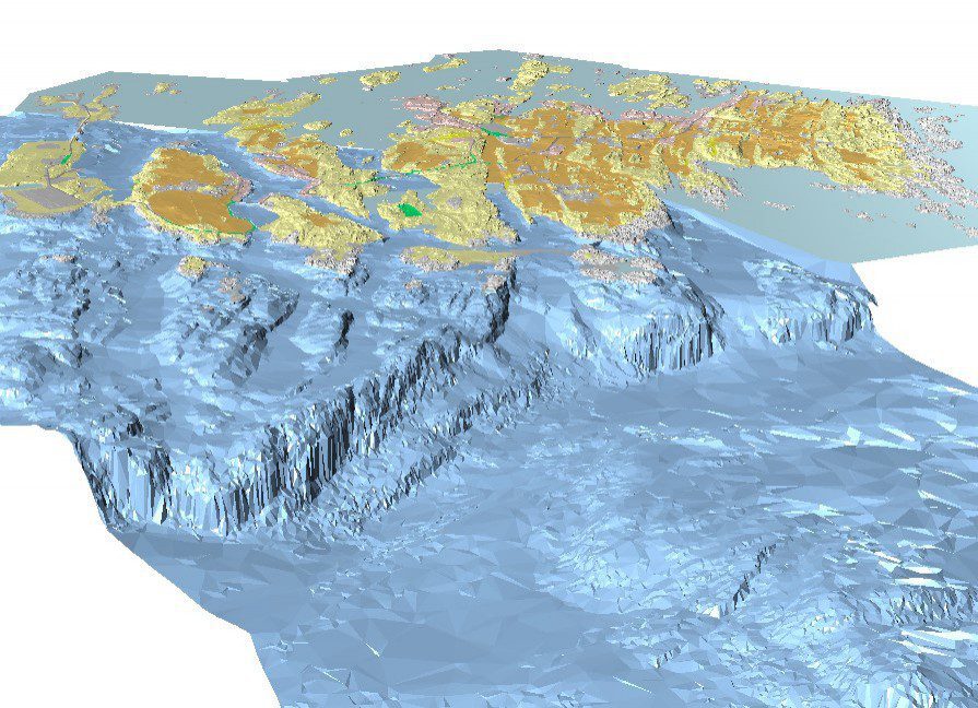
Model of E39 Rogfast. The model is a combination of land survey, sonar and airborne scanning.
Break lines and point clouds combine into a seamless triangulated network; without holes or overlap. The result is a triangulated, irregular network – TIN. Overall, this provides a qualitatively solid foundation which is manageable to work with. The model is themed from field information (such as forest, farmland, and transportation). This foundation is in accordance with the requirements of manual V770 – Model Basis. Based on the client’s needs, the model can be divided into intervention and visualization zones; a compromise between quality and data usage.
The model can be exported into the majority of exchange formats for TIN, such as LandXML, or DWG. LandXML handles properties on a TIN surface whereupon Scan Survey exports useful metadata such as filtering level, land type, and measuring method. The models can then be used in software such as NovaPoint DCM, Gemini Entrepreneur and Terrain, AutoCad Civil 3D, and Microstation. If you have questions about our terrain models, please contact our Technical Manager Andreas Saxi Jensen.

Andreas Saxi Jensen
+47 400 16 187
ASJ@scansurvey.no
Read more


