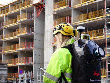
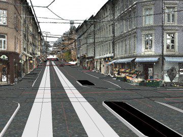
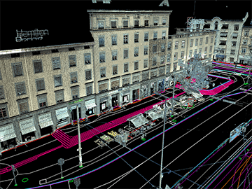
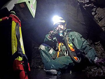
Data collection with the mobile mapping systems Leica Pegasus:Backpack and Pegasus:Two, to create georeferenced laser data, models, and images.
Quality data produced
in a complete and error-free
end product, always.
Scan Survey is one of Norway’s leading survey firms within the production of digital terrain models and digital maps in Oslo.
Mobile Mapping
- Terrain models and detailed measurements
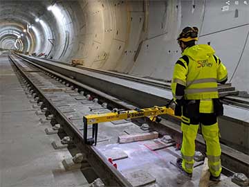
- Tunnel surveying
- 360-images
- Heat in electrical components
- GIS database and NVDB
- Analysis of asphalt quality
- Management, operation, and maintenance of roads
- Periodic unit documentation
- Building blueprints
- Land reclamation
- Modeling, BIM
- Equipment park
- Deliveries
Mapping by RPAS/Drone
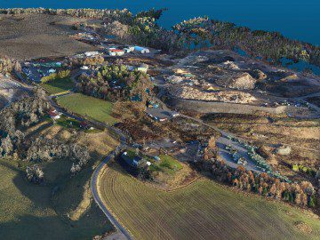
Mapping and surveying by RPAS / drone to create orthophotos, oblique photos, and terrain models of medium sized areas, installations, land reclamation and fills, development areas, etc.
Sonar and Marine Mapping
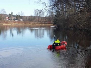
Scan Survey works with sonar for marine measurements in lakes, rivers, and coastal waters.


