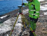
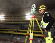
Since its founding in 1989, Scan Survey has worked with establishing, measuring, calculating, adjusting, analyzing, reporting, quality checking, and maintaining geodetic networks. All our surveyors have both knowledge and experience in establishing such geodetic networks. Typical projects we’ve been involved in are: transportation, including road, rail, subway, tram as well as tunnels; buildings; outdoor plans; deformation ;and displacement controls. Our clients are both construction clients and contractors. The basis is used for both measurements and stake-out, and is essential for proper engineering and construction.
Experience and Knowledge from the Beginning
Base Network for Building and Transportation
Transport projects require high accuracy and rely on a homogeneous geodetic network, in compliance with current standards and tolerance requirements. Our work is in compliance with the Norwegian Mapping Authority’s Geodatanormen; The Norwegian Public Roads Administration’s manual V770; and the Norwegian Standard NS 3580 Site Grids for Construction – Distribution of Responsibility, quality acceptance requirements and methods. Our primary focus is that the geodetic network will serve as a unifying feature throughout the project, and provide a clear connection between terrain models, engineering, construction, geometric control, and documentation.
Would you like to know more? Contact our Head of Department!
Benchmarks
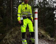
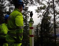
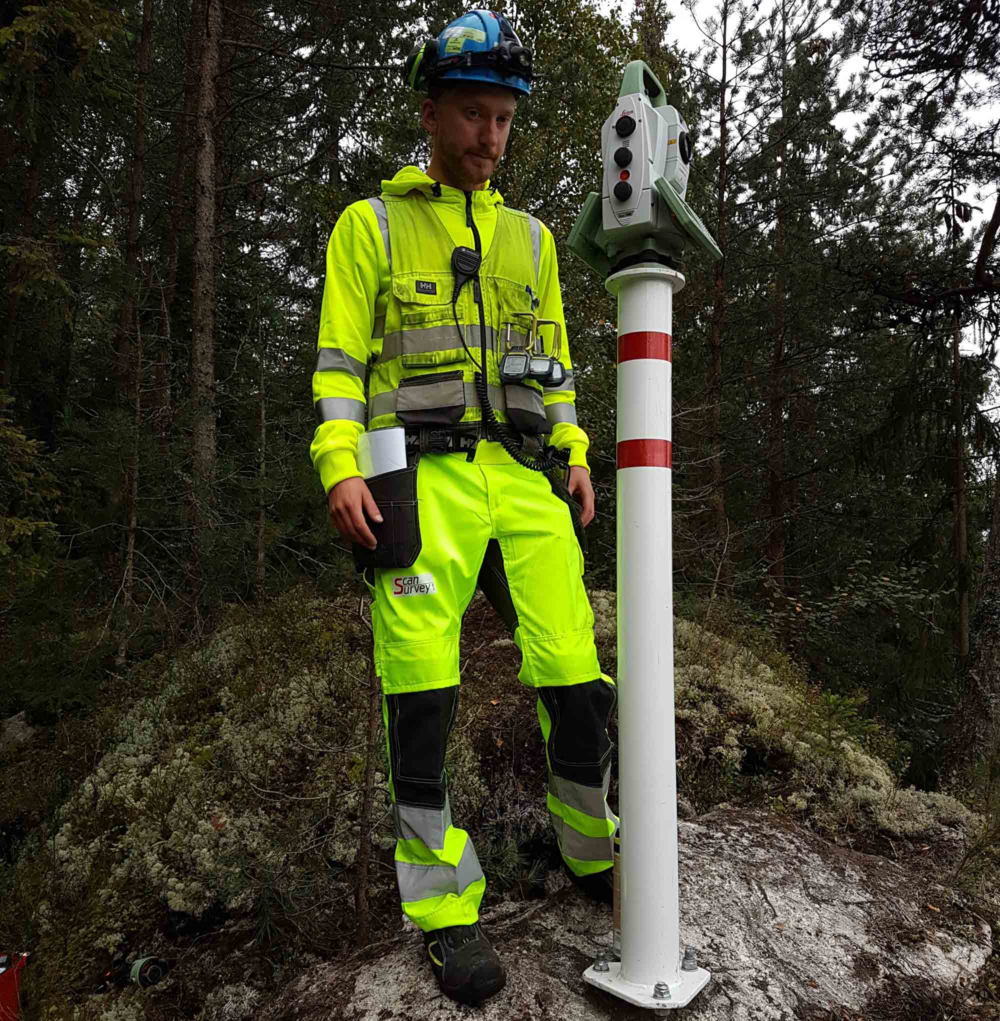
Geodetic networks are secured to ensure they last the span of the project; they consist of prisms mounted on stone, or stable, fixed structures such as columns with stone foundations. We primarily use benchmark columns for larger or long-term projects. In areas where there is no available bed rock, ground poles, brackets mounted to stable constructions or similar solution will be utilized.
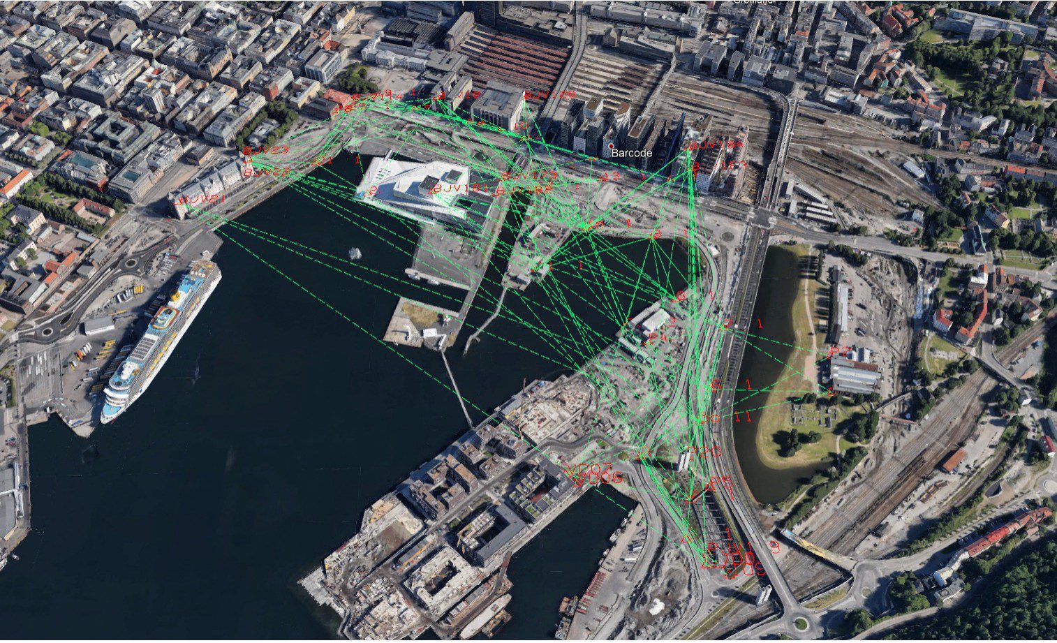
The image above shows an example of a geodetic network, created in conjunction with BaneNors Follobaneproject, which illustrates high-level workmanship and geometry.
Equipment
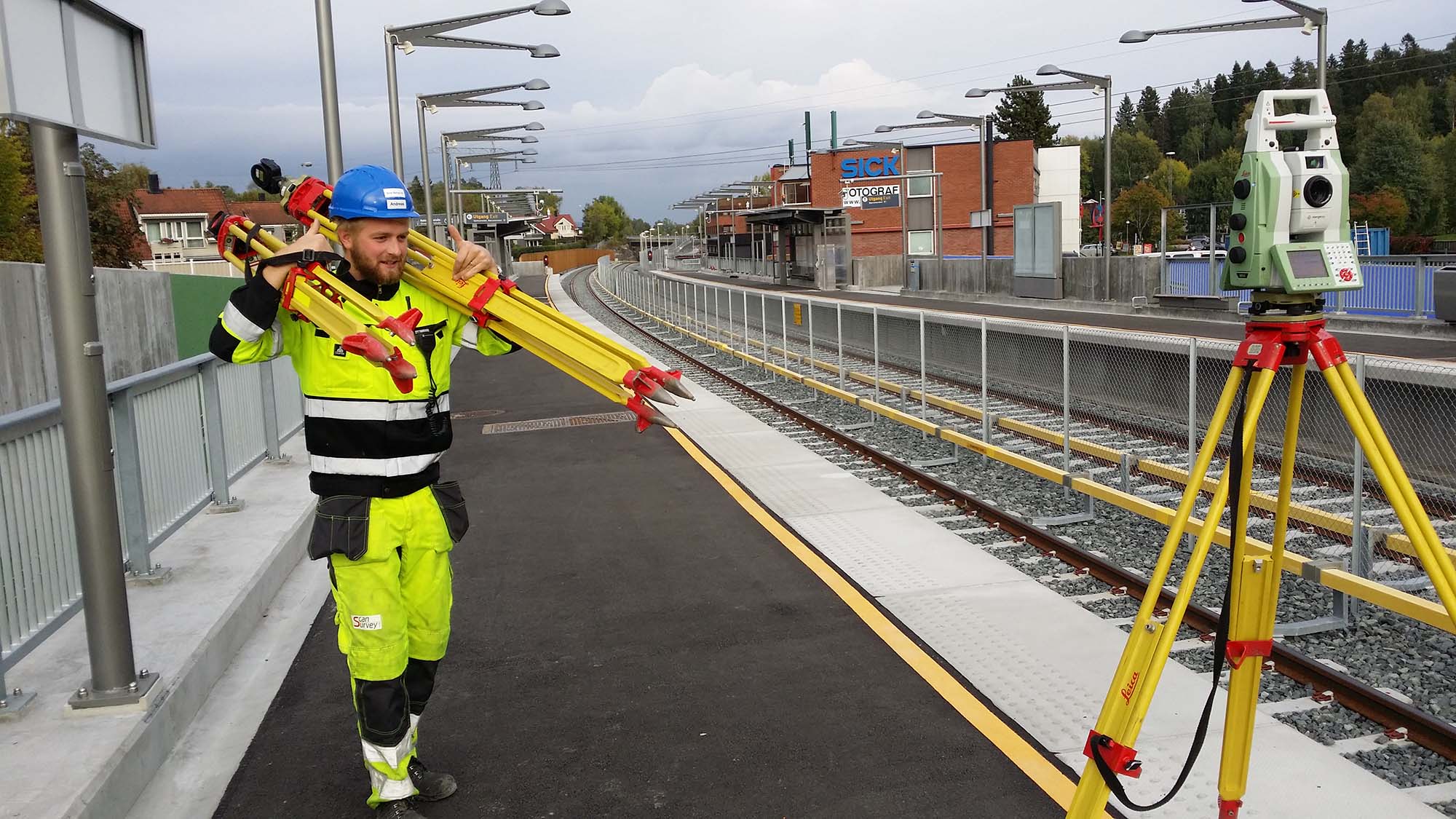
Scan Survey AS has a specialized set of equipment with many GNSS receivers, prism stations, tripods, total stations, and gyrotheodolite. Well-practiced routines and qualified employees enable us to mobilize and establish large scale geodetic networks with great efficiency.
Tunnels
Working with long tunnels requires a high degree of precision. Specially-calibrated total stations, effective work routines, and calculations are employed to ensure an overview of areas without satellite coverage. Scan Survey also offers the ability to use gyrotheodolite for absolute directional orientation; an excellent control that can be used in both road and rail tunnels.
Analysis, Adjustment and Software
The establishment of benchmark networks for smaller terrain models utilizes customized work routines and self-developed software, with a focus on efficiency, quality and traceability.
Projects covering larger geographical areas utilize vectors from static GNSS-measurements. Combined with trigonometric measurements via total station in a network with good geometry and correlation, a comprehensive and homogeneous basis is created. For optimal altitude transfers the baseline network can be leveled.
Computing programs such as Leica Geo Office, Leica Infinity, GIS/LINE Surveying, StarNET and Gemini Terrain are some of the tools utilized during the process.
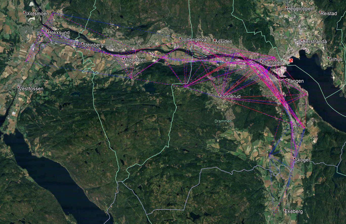
The image above shows a geodetic network spread over a large area. In the above example Scan Survey has use benchmarks from the National Grid as a basis for linking measurements made across 4 municipalities.
Transformations
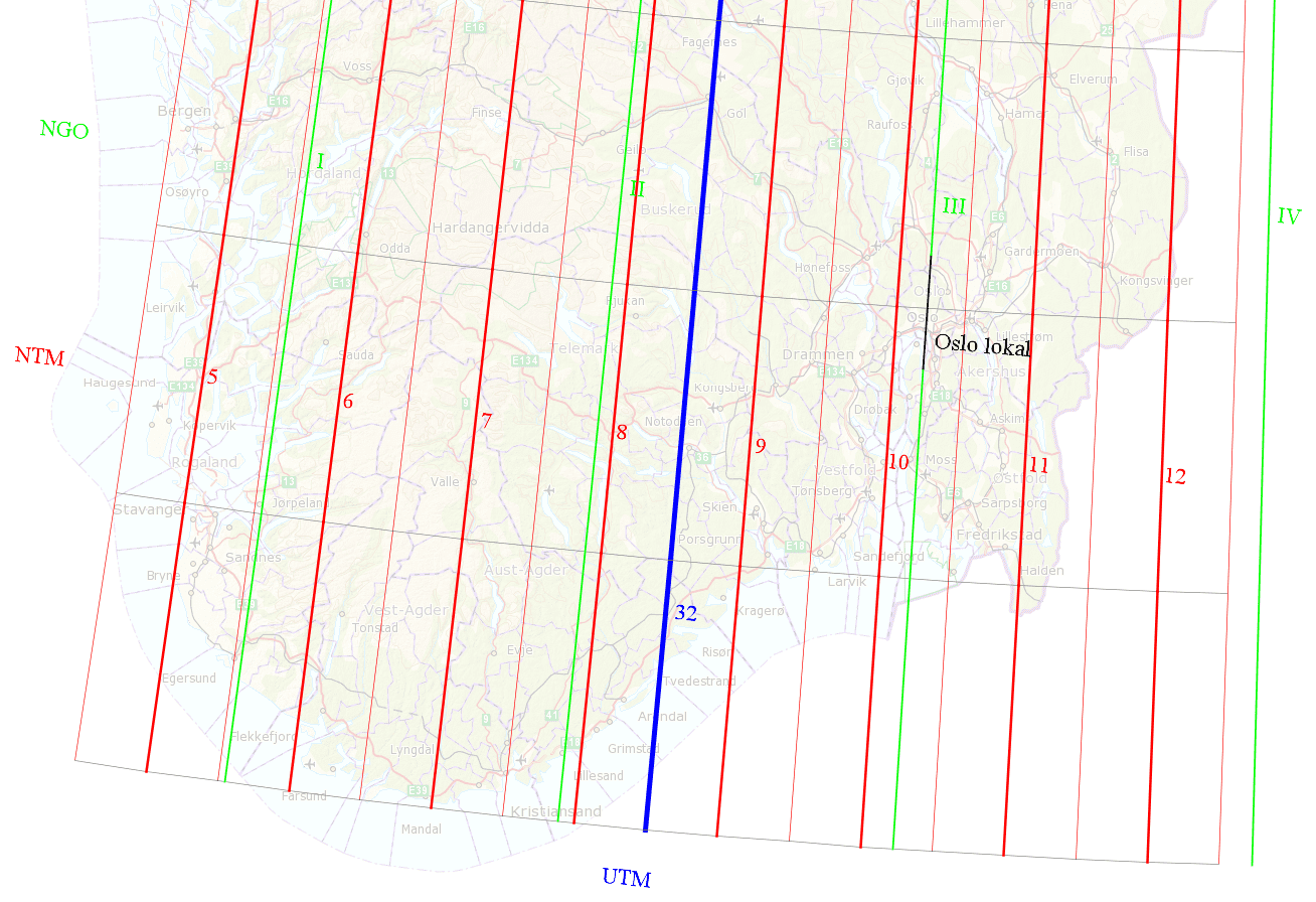
Scan Survey performs transformations related to road projects, construction projects, terrain models, benchmark surveys, and much, much more. We have extensive experience in assessing the type of transformations suitable for various tasks. Common map projections in use within Norway are EUREF89 UTM (zone 31-35) and EUREF89 NTM with 26 zones adapted to Norway, as well as a number of older systems such as NGO1948, ED50 and Oslo local. EUREF89 NTM is based on the Norwegian Standard for Civil Engineering Networks (NS3580). We can transform most file formats, such as KOF, SOSI, Quadri, DWG, XYZ, LAS and TIT/NYL between most horizontal and vertical datums.
Delivery
The establishment of geodetic networks is in compliance with the Norwegian Mapping Authority’s Geodatanormen; The Norwegian Public Roads Administrations’s manual v770; and the Norwegian Standard NS 3580. Vector processing, benchmark adjustement, and network analysis are provided in a complete and comprehensive benchmark report. Coordinate lists and sketches are delivered in the desired format.
Get in touch with Andreas Saxi Jensen for further information on our services within benchmark measurements and geodetic networks.


