Sonar and Marine Mapping

Sonar

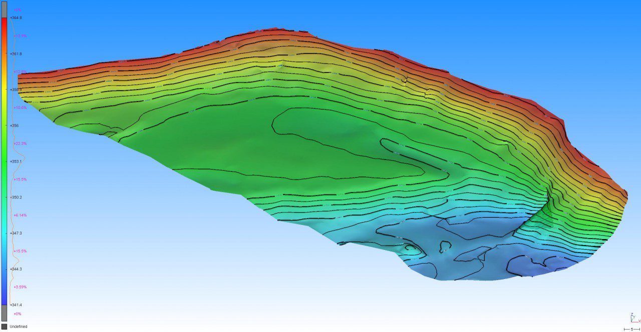
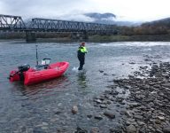
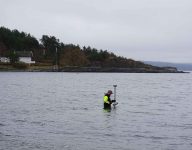
Scan Survey utilizes sonar for marine measurements in coastal waters, lakes, and rivers. The sonar produces a point cloud which is then processed into a TIN-model. This model is smoothly and seamlessly sewn together with other types of measurements such as land survey or photogrammetry by RPAS / drone.

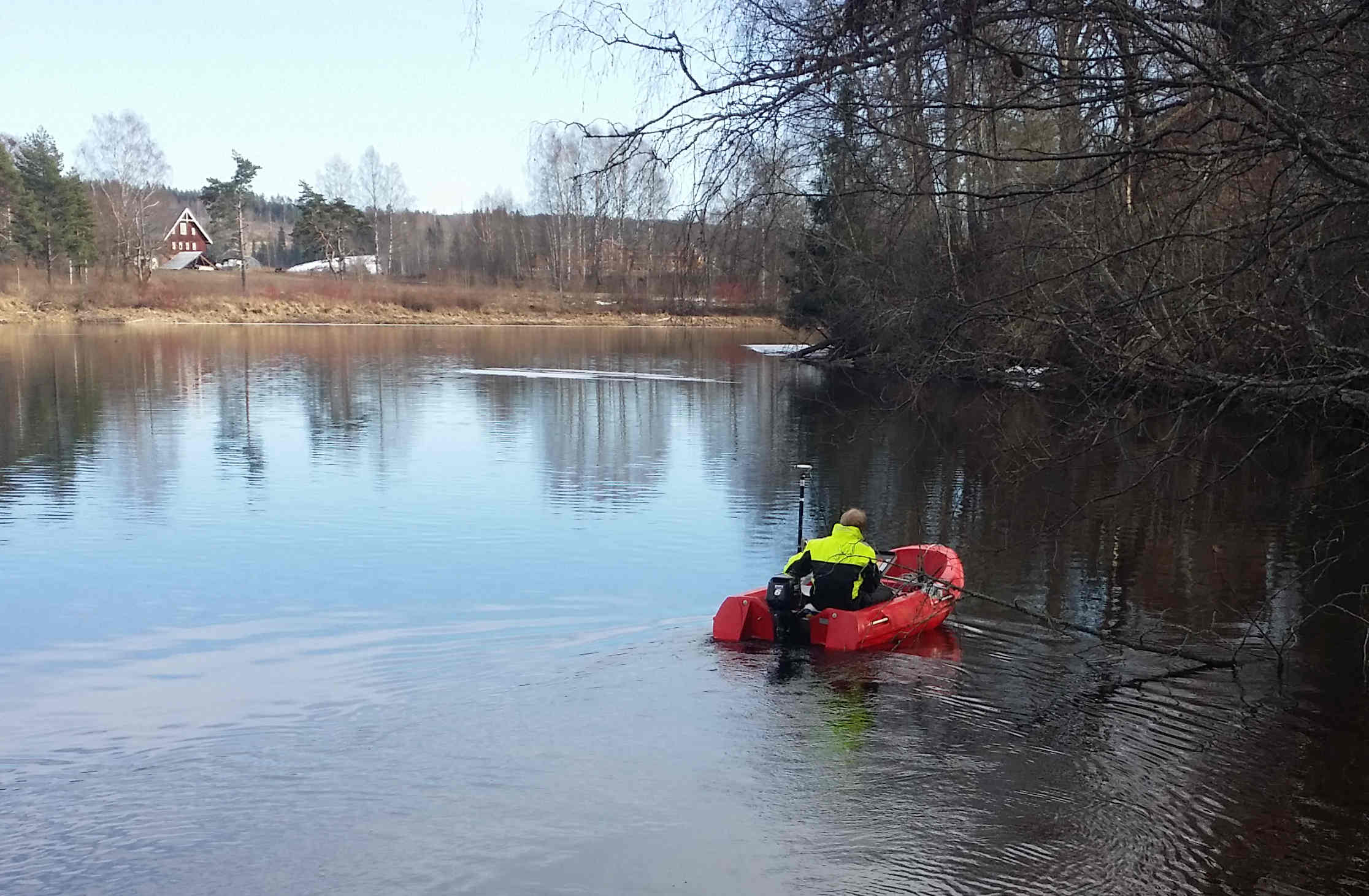
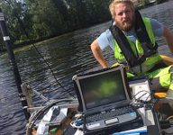
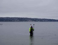
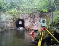
Scan Survey uses a sensor from Simrad, a subsidiary of Kongsberg Maritime AS. It is a single-beam sonar with two frequencies, with a lower limit of approximately 50 meters. The sonar is positioned with GPS / GNSS or total station. The picture below shows an example of a seamless model of both sonar and land survey data.

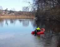
staff member mapping a lake bed on a boat

Would you like to know more? Contact our Head of Department!

A sonar map showing the depth of a lake

Data Processing from Sonar

Scan survey performs the entire process, from data capture with our sonar to building a complete 3D-TIN surface. The data is processed in our offices, where we combine the sonar data with laser scanning, field surveys, and RPAS into a complete, seamless terrain model. We have extensive experience delivering survey data to various companies, and purposes. Get in touch to find out more about the use of sonar in your project.

Scan Surveys Logo
Privacy Overview

This website uses functional and analytical cookies in order to offer you an optimal user experience. These cookies do not contain personal information. Scan Survey AS and its partners use cookies in marketing and to ensure that you see relevant advertisements without telling advertisers who you are. By agreeing below, you consent to the use of these cookies.

You can adjust all of your cookie settings by navigating the tabs on the left hand side.