
Establishing a geodetic network in compliance with Geodatanormens geodetic network class II
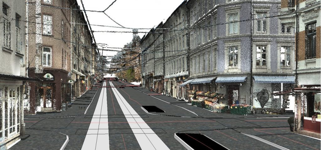
Detailed measurements of existing situation
Scanning and modeling of Kjørbotunnelen
Terrain model generated from point cloud (aerial scanning), surveying, and as-built data
Surveying of visible bedrock for modeling of base foundation
Stake-out in relation to geotechnical drilling
Transformation of data between Euref89 UTM32 and NTM10
Surveying of existing water and sewerage systems
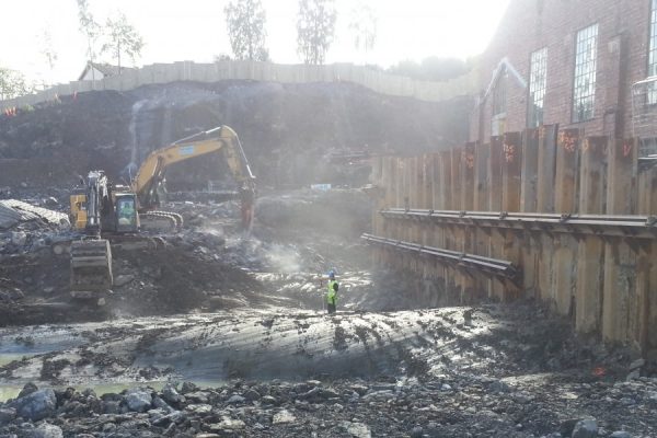
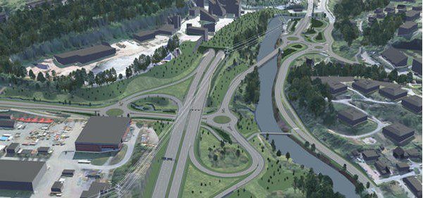
E16 Sandvika to Wøyen
- Project Building Plan E16 Sandvika - Wøyen
- Client Aas Jakobsen / ViaNova Plan og Trafikk
- Contract Land survey services and TIN-model of terrain surface
- Contract Period 2012-current
- Services Detailed Measurements, Terrain Model
Scope of Work
Project Description
New four lane motorway from Sandvika to Wøyen of approximately 2.5km. The project had an approximated cost of 2.7 billion NOK (2011).