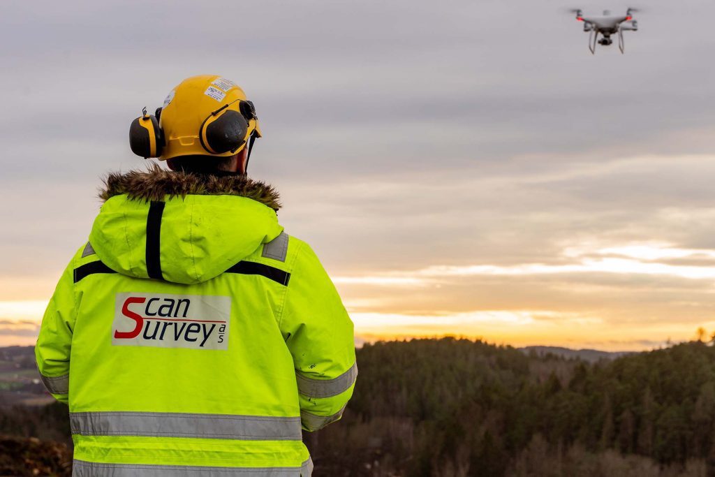


With over 3 decades of surveying experience and over 40 highly skilled employed Engineers, Scan Survey is able to provide you with all your surveying needs.
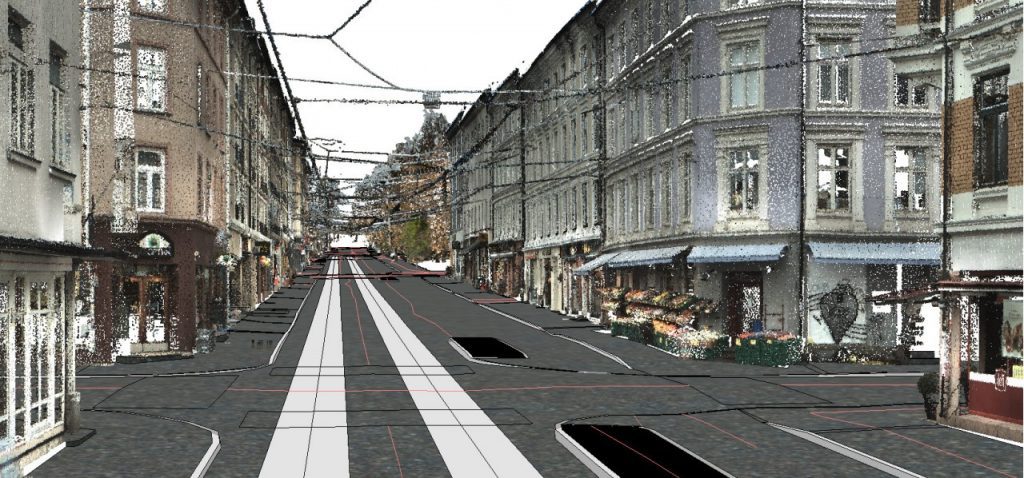
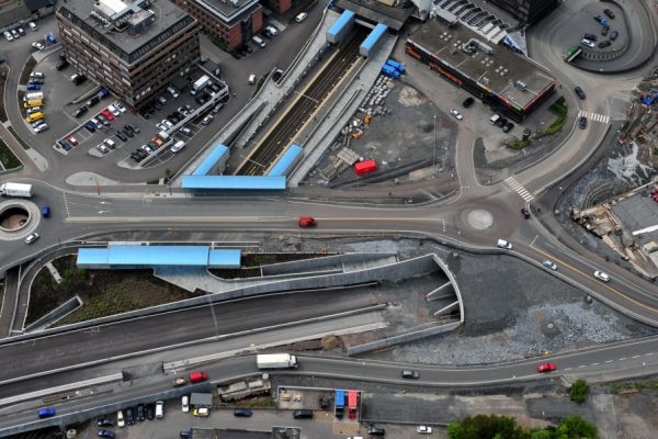
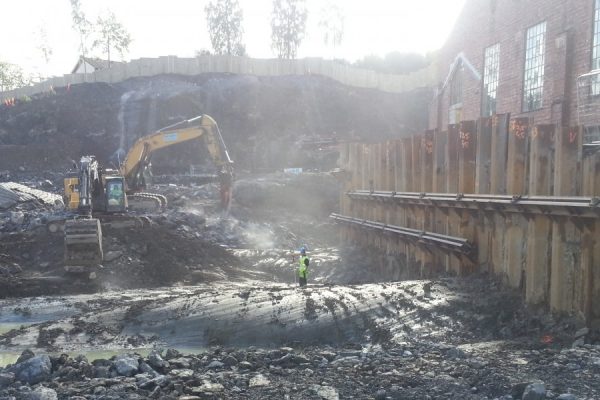
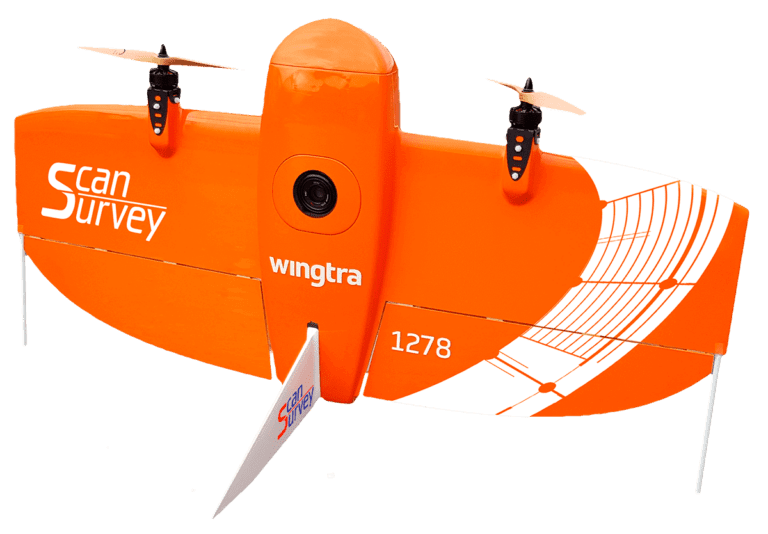
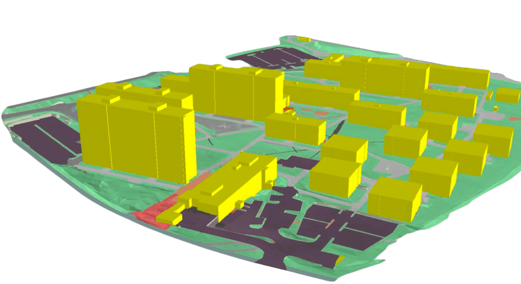
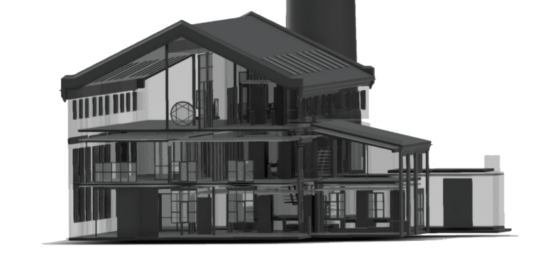
The services that Scan Survey offers, include but are not limited to Mobile Mapping, Terrain models and detailed measurements, mapping and measuring with Drone, Sonar and Marine mapping, Laser Scanning and 3D modelling, Track measurements, 3D manholes and pipelines, Benchmark measurements and Geodetic networks as well as Project management and Consultancy services.