

Oslo Municipality, by EBY, desired a detailed and precise survey of the areas surrounding Langøyene. They required surveys of heights down to -1m and detail of heights along the quayside, as well as measurements of the quay, walls, asphalt areas, and more. The measurements were to be used for mass calculations, as well as providing the future basis for detailed projections of cover measures, erosion protection, new constructions, and more.
Langøyene – Aerial Photos and Terrain Model via Drone
- Project Langøyene, Oslofjorden
- Client Oslo kommune, Eiendoms- og Byfornyelsesetaten
- Contract Period April 2015
- Services 3D-Modeling, Detailed Measurements, Mapping
Scope of Work
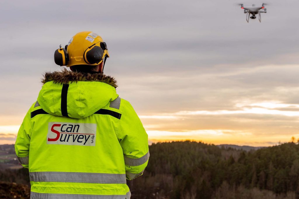
Photogrammetry
Scan Survey’s drone takes high-resolution images with a pre-calibrated camera. Large overlap between the images and the area covered by the drone allows the images to be reproduced in-office with photogrammetric software. Pass points and control points on the ground provide georeferencing, ensuring a high quality end product. The image below shows a view of the generated point cloud which is then used to generate a TIN/3D-Model.

3D-Model by Drone and Surveying
Scan Survey delivered drone orthophotos, height curve SOSI maps, and 3D terrain models based on a combination of drone survey, detailed measurements, and GPS measurements. Objects such as foundations, walls and quays were measured with a total station and then assembled into a seamless 3D model along with the drone data.
Watch a presentation of the 3D terrain model:
Orthophoto by Drone
Orthophotos were delivered in the client’s preferred format. We have extensive experience with which formats and resolutions best suits various software and usage. The orthophotos from Langøyene were delivered as a TIFF with a resolution of 5cm, as well as in 3 other resolutions.

View Oslo Mulicipalitie’s website for more information (content in Norwegian):
www.oslo.kommune.no/politikk-og-administrasjon/prosjekter/oppryddingstiltak-pa-langoyene/