Kolsåsbanen project
  • Scan survey staff member measuring in construction site

Kolsåsbanen project

  • Project Sørbyhaugen - Kolsås
  • Client Dr Ing A. Aas-Jakobsen AS
  • Contract Period 2005 - current
  • Services 3D-Manholes and 3D-Pipelines services, Detailed Measurements, Measurements and Geodetic Networks, Terrain Model

Scope of Work

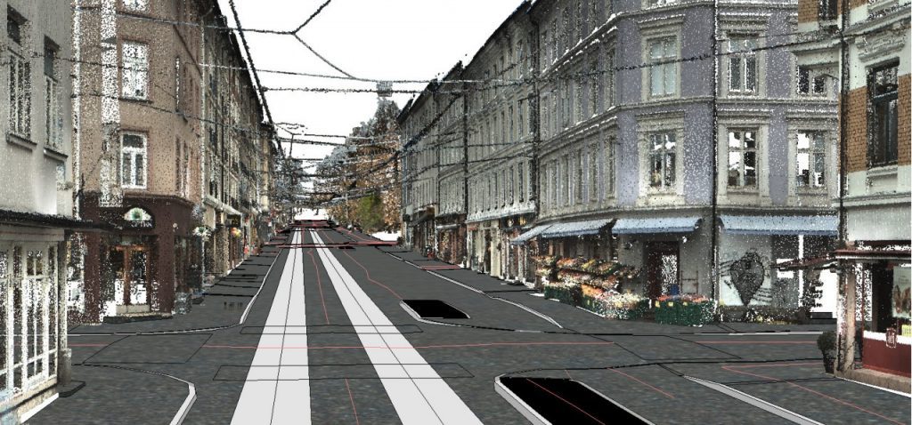
Supplier of project documentation:

  • Benchmark network
  • Seamless terrain model
  • Detailed measurements
  • Manhole schematics

Consultant for Sporveien AS, contract compliance:

  • Mass calculations
  • Geometric control

Project description

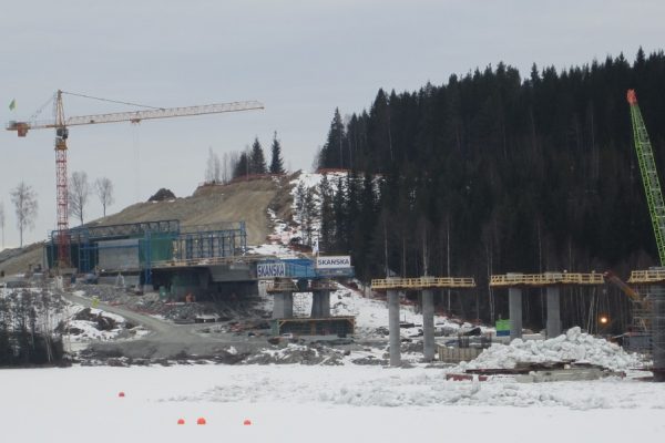
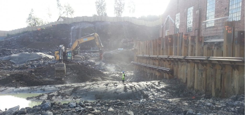
  • In August 2006, the rebuilding of Kolsås banen began
  • The project is being built with “low-metro standards” and the old tramways trace with a 50 km/h speed limit is retained.
  • Old stations are demolished, and new are built for a 6-car train
  • The stations are made wheelchair accessible and pedestrian bridges are built over the tracks
  • Between Øraker and Bekkestua the track is built for both subway and tram
  • The old contact wire grid is replaced with a power rail
  • Old masses in the ground were replaced
  • Track and stations open successively upon completion
  • Gjønnes station opened in October 2012
  • Size: 13 stations, 12.1 km of double-lane tracks
  • Cost in 2012 NOK, 2.9 billion

Other

  • 3D design with conflict control in a coordination model for all involved
  • 3D stake-out data for all parties involved
  • Tightened progress with respect to planning and building workers
  • The project is conducted through suburban areas, thus requiring exceedingly detailed information for construction
  • Neighbor notifications for access to private property
  • Complete geodetic network for the entire Kolsåbanen for unambiguous and homogeneous connection between stake-out data, survey models, construction, documentation, and operations
  • The basis network is measured with static GNSS, the dense base network is measured by total station. The network is built with special focus on homogenity and the need for railway geometry
  • Complete seamless terrain model of the tramway and adjacent details surveyed by total station as well as aerial laser scanning of the surrounding terrain
  • Terrain models are supplied and updated during the project to allow for the most up-to-date information, as well as providing a foundation for eventual decisions and to avoid misunderstanding
  • Close collaboration with the construction client, consultants and contractors throughout the project phases: planning, building, and operation
  • Assistance and handling of final project phase
  • HDS control of constructions (ground based-laser scanning)
  • Establishment, deployment, and maintenance of benchmarks for construction contractors
  • Measurement and control when packing and adjusting tracks

Related Projects