E16 Slomarka to Kongsvinger Project
  • Slomarka in kongsvinger previous project

E16 Slomarka to Kongsvinger Project

  • Project E16 Slomarka - Kongsvinger
  • Client Statens Vegvesen
  • Contract Period 2012 - current
  • Services LIDAR services, Surveying, Terrain Model

Scope of Work

  • Construction client Support
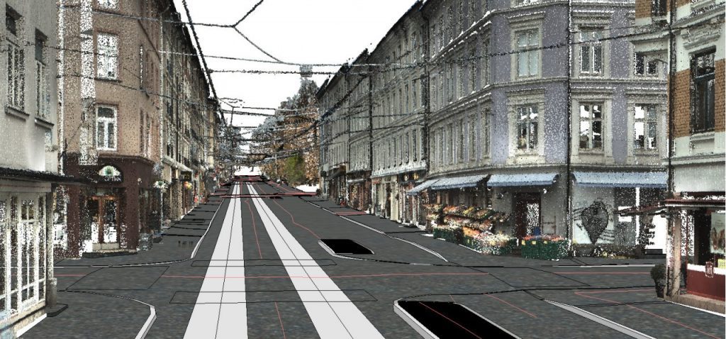
  • Establishment of terrain model using airborne laser scanner (LIDAR) in combination with land surveying. Both for engineering and during the construction phase
  • Control of mass deposits, with the use of RPAS (drone)
  • Mass calculations
  • Geodetic controls
  • Stake-out during the planning phase
  • Surveys for archeology
  • Geometric controls
  • Control and delivery of data to NVDB and FKB

Project Description

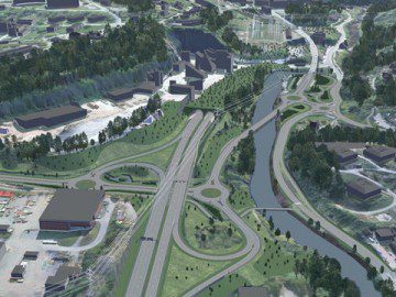
  • E16 Slomarka – Kongsvinger.
  • 16.5 kilometers, four-lane highway including local roads.
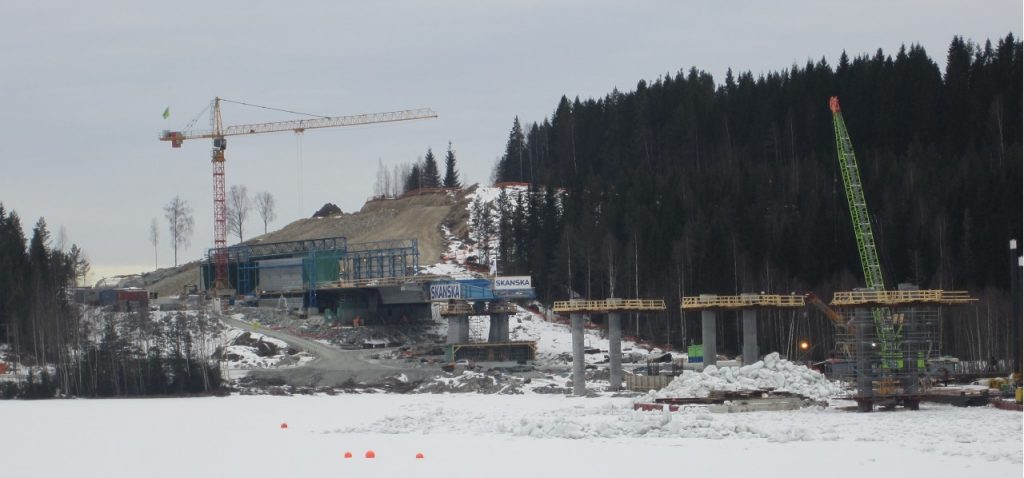
  • 740 meters long bridge over Glomma, built with the propulsion method.

Divided into Three Large Enterprises

  • Entreprise 1 extends from Gulli to Kurudsand in the Kongsvinger municipality. The stretch is 4.7 kilometers long and includes the conversion of county road 175, roundabout at Stømner with local roads. In addition, Eidemsgate in Kongsvinger will be rebuilt for better accessibility.
  • Entreprise 2 extends from Fulu in southern Odal municipality to Gulli in Kongsvinger municipality. The stretch is about 2.3 kilometers long, with the main part being a 740 meter long four-lane bridge with center sections over Glomma. In addition to the bridge and about 1.5 kilometers of four-lane highway, a two-kilometer overpass is being built. 
  • Entreprise 3 extends between Slomarka and Fulu in Sør-Odal municipality. The distance is about 10 kilometers long. Two overpasses, four footbridges, and three bridges are being built as well.

Related Projects