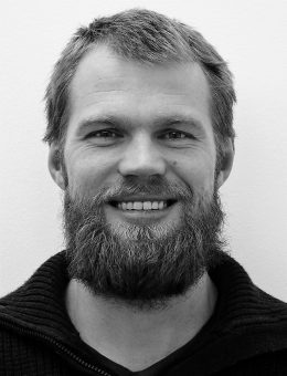
Scan Survey Civil Engineer
Employed at Scan Survey since 2014. Master’s in Geomatics from NMBU at Ås. Eirik primarily works with geometric control, quality control, and certificate control. In addition he has specialized himself within the documentation of drone facilities.
Eirik is also FME certified. His experiences with FME started with processing orthophotos in 2015. Now he uses FME in much of what he does, such as classifying point clouds, performing large geometric checks, updating databases and to create innovation in Scan Survey.

